Explore more with GeoVIEW Automacs
Step into the future of handheld scanning with GeoVIEW Automacs’s XVision series—featuring state-of-the-art mobile scanning technology designed for precision and performance.
Handheld Mapping Systems
Our products are perfectly suited for diverse use cases—from topographic surveys to Building Information Modeling QIM. This portable solution lets you effortlessly capture environmental data in real-time as you move.

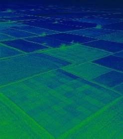
Aerial Mapping Technologies
Drone-based data capture is transforming modern surveying practices. Which leads the way in drone mapping innovation, delivering advanced capabilities from photogrammetric imaging to LiDAR-based solutions.
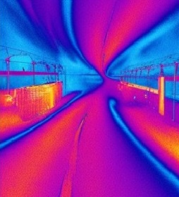
Versatile LiDAR Solutions for Ground and Space
Experience hybrid efficiency with a single sensor designed for drone-based LiDAR mapping. Whether your project requires aerial views or ground-based scanning — this system adapts to meet accuracy.

Point Cloud Image Solutions
LiDAR technology has reshaped how we obtain elevation data and visualize 3D environments. Working with point clouds demands specialized tools and knowledge to fully unlock their analytical power.